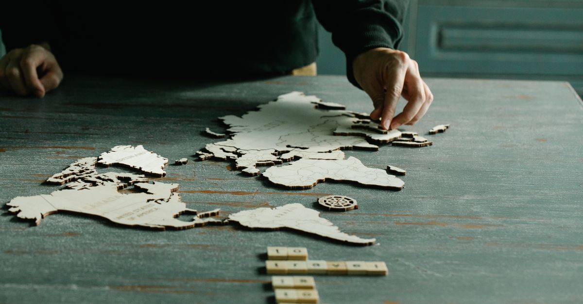
A countries puzzle game built around placement tests whether you can match recognizable country silhouettes to their approximate positions on a world map. The World Map Puzzle from Lizely does exactly that with a fixed set of eight recognizable outlines: Brazil, Argentina, South Africa, Egypt, India, China, Japan, and Australia. Each piece sits in a tray on the side of the screen while a compact schematic world map displays eight numbered target outlines, one for each country. To solve the puzzle you pair the named piece with its matching numbered outline, either by clicking the piece then activating the target or by dragging the piece onto the target. Every round uses the same eight fixtures, so the challenge is purely a recognition and positioning task rather than a randomized atlas drill.
What the World Map Puzzle Includes
The World Map Puzzle ships with a deliberately small set of eight country outlines rather than a full atlas. The tray holds Brazil, Argentina, South Africa, Egypt, India, China, Japan, and Australia — a mix of continents and shapes that covers South America, Africa, Asia, and Oceania. On the map, each of those eight countries has a numbered target outline drawn from the same source geometry. The numbered targets are intentionally anonymous before placement, so the named piece in the tray supplies the country name while the map tests your sense of position.
The map itself is a schematic world view, not a detailed political chart. Country silhouettes are projected and rounded offline, which keeps the visible shapes small and the client bundle lightweight. A two-to-one map aspect ratio gives the schematic a calm, postcard-style layout, while a responsive two-to-four-column tray adapts to the size of your screen.
| Country | Region | Source ID (alpha-3) |
|---|---|---|
| Brazil | South America | BRA |
| Argentina | South America | ARG |
| South Africa | Africa (south) | ZAF |
| Egypt | Africa (north) | EGY |
| India | Asia (south) | IND |
| China | Asia (east) | CHN |
| Japan | Asia (east, islands) | JPN |
| Australia | Oceania | AUS |
How to Play the World Map Puzzle
- Open the World Map Puzzle and read the two-column layout: a schematic world map on one side and a tray of eight named country pieces on the other.
- Choose a piece by clicking it. The selected piece receives a visible outline so you can tell which one is currently armed.
- Place it on a target. Either activate the matching numbered outline on the schematic map, or drag the piece directly onto that target.
- Read the feedback. A correct placement fills the numbered outline with the country shape and awards 125 points; a wrong target keeps the selected piece in place so you can try a different outline.
- Continue until you finish or deadlock. Place all eight countries for exactly 1,000 points, or stop after the second incorrect placement, which freezes the run until you press Restart.
- Use keyboard or touch at any point. Tab from the piece to a numbered target and press Enter or Space on the matching one — the click-to-place path also works with assistive technology and on small island shapes such as Japan, where the target uses a 44-pixel interactive control centered on the dataset's label point.
For a closer look at the keyboard and touch route, the no-drag walkthrough covers the same eight placements and explains how focus moves between the tray and the map.
Where the Country Paths Come From
Every visible country path, label point, bounding box, and identifier in the puzzle traces back to one place: the Natural Earth 1:110m Admin 0 Countries GeoJSON. Natural Earth describes that 1:110 million scale as suitable for schematic world maps at postcard or locator-globe size, which is the register this puzzle aims for.
To turn geographic data into a small browser game, eight ADM0 features are projected with a simple equirectangular formula: x equals longitude plus 180, and y equals 90 minus latitude. Coordinates are then rounded to one decimal and the polygon vertices are simplified offline. The simplified paths are kept with their unique identifiers, source label points, and bounding boxes, then embedded into the build as SVG path strings. Because the geometry is bundled rather than fetched at runtime, the game avoids a live map download, a geocoding service, and a WebGL engine.
This offline-first pipeline also makes the puzzle reproducible. Independent local and production Playwright tests can repeat the exact eight placements and verify the same 1,000-point outcome, instead of relying on a randomized map. The evidence pack records the source file, projection, fixture count, identifiers, label points, and bounding boxes used for each round.
Scoring, Deadlocks, and Terminal States
The scoring rule is simple enough to audit by hand. Each correct placement adds 125 points to your total:
125 points × 8 placements = 1,000 points
That is the only way to reach the full score. There are no bonus rounds, streak multipliers, time bonuses, or partial fills. You must place all eight countries correctly to finish on exactly 1,000 points.
Mistakes are limited. The first incorrect target does not move your selected piece and does not end the run — it leaves the piece armed so you can try a different outline. The second incorrect placement, however, creates a visible deadlock. After that, score, placed identifiers, completion state, and deadlock state are frozen until you press Restart. The same applies once all eight pieces are placed correctly: the terminal state ignores any further input. Correct pieces also cannot be placed twice.
| Event | Points | Run effect |
|---|---|---|
| Correct placement | +125 | Target fills with country outline |
| First wrong target | 0 | Piece stays armed, run continues |
| Second wrong target | 0 | Deadlock; state frozen until Restart |
| All eight placed correctly | 1,000 (total) | Run frozen until Restart |
| Already-placed target reused | 0 | Correct pieces cannot be placed twice |
What This Map Is and Is Not For
The map is intentionally generalized. At 1:110 million scale, coastlines and borders are simplified, and an equirectangular projection stretches distance and area away from the equator. Simplification removes additional vertices before the paths ever reach the page. That makes the result appropriate for a compact recognition game, not for navigation, surveying, cadastral work, treaty interpretation, scientific measurement, logistics planning, or classroom grading that requires an official political map.
Natural Earth boundaries are a cartographic dataset. They are not a legal ruling and they are not a position by Lizely on sovereignty, recognition, disputed territory, maritime limits, or preferred country names. The eight-country scope is also deliberately smaller than a full atlas. The puzzle does not test capitals, flags, subdivisions, overseas territories, disputed areas, precise scale, or every recognized country. Treat it as quick country-shape and world-position practice, not as a substitute for an authoritative reference.
To keep small or island shapes usable with touch and keyboard input, each map target uses the dataset's label point as the center of a 44-pixel interactive control. The control is larger than the visible country path for compact shapes such as Japan, which keeps island targets easy to hit. After a correct match the target changes to a check mark and its accessible label announces the placed country, while the numbered targets remain anonymous until they are filled.
Browser-Based, Local, and Account-Free
The puzzle runs entirely in your browser. There is no geocoding API call, no analytics request, no uploaded answer, no live boundary service, and no new mapping dependency. The eight SVG path strings are rendered through the existing React tool island and shared game shell.
The page uses the site's standard color tokens, responsive tray columns, focus indicators, and the shared double-Escape boss key. It does not request location permission and never tries to infer where you live. Because every round uses the same embedded fixture, the only state the game keeps is your local score, your current selections, and your placed identifiers — all of which reset as soon as you press Restart.
If you want a fixed, reproducible geography drill rather than a streaming atlas, the World Map Puzzle covers the essentials: eight recognizable outlines, a schematic world view, exactly 1,000 points for a perfect run, and a clear two-mistake end state. No download, no account, no plugin, and no surprise network request.